
In March, after nearly two decades of discussions, UN member states approved a landmark agreement to protect marine life on the high seas.
Even though two-thirds of the global ocean is considered high seas, meaning beyond national jurisdiction, only 1% of this area is currently protected, leaving the rest mostly unregulated and vulnerable to overfishing and pollution.
The new UN treaty seeks to address this by creating a framework for conserving and sustainably using marine biodiversity in these waters, including through the creation of marine protected areas.
“The treaty is not a complete solution,” said Octavio Aburto, a professor at the Scripps Institution of Oceanography in San Diego, California. “But at least now there is a framework and efforts can begin so that exploiting the high seas without accountability can end.”
These waters are home to a wealth of biodiversity and varied ecosystems, including deep water corals and migratory animals. They also play a key role in regulating the Earth’s climate, as the ocean and marine organisms absorb large amounts of carbon from the atmosphere. Preserving them is essential to stabilising the climate system.
But monitoring – let alone protecting – the high seas has its inherent difficulties, given their remoteness and vastness. A lack of ecological information also makes it difficult to identify areas that are particularly vulnerable and develop conservation strategies.
This is where machine learning, satellite imagery and other innovative technologies can fill the gaps.
Monitoring illegal fishing
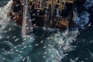
Several organisations are already using a combination of satellite imagery and machine learning to detect illegal, unreported and unregulated (IUU) fishing in real time, presenting their findings on free-to-use online platforms.
Global Fishing Watch, for example, hosts an interactive online map that uses data from vessels’ transceivers to track their movements and estimate commercial fishing effort. Like this it can track vessels across countries’ exclusive economic zones, marine protected areas and the high seas. It is, however, reliant on transmissions from vessels, and sometimes ships “go dark”, disabling their tracking devices. Global Fishing Watch describes this as not always intentional, but a “big red flag”.
Other initiatives are looking to the skies to help identify unusual behaviour in the ocean. Developed by the Allen Institute for AI (AI2), a nonprofit, Skylight is a monitoring platform that makes use of satellite imagery to provide timely information to fisheries authorities.
Ted Schmitt, AI2’s director of conservation and head of the Skylight programme, said the Port State Measures Agreement (PSMA) is particularly important in the fight against fisheries crime. It helps nations coordinate to stop IUU vessels from landing their catch, and is the first binding international agreement to specifically target IUU fishing.
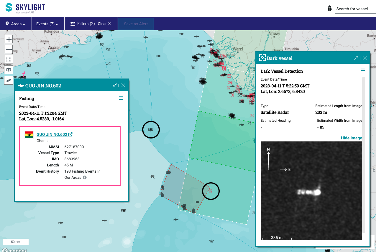
“To give this policy teeth, countries and NGOs use Skylight to identify suspicious activity, such as potential transshipment events, for port authorities implementing PSMA measures,” he added.
The technology uses tools including satellite imagery, “computer vision” and machine learning to analyse data and detect suspicious activity in real time. The high seas, by definition, are distant waters, so having boats and patrols monitoring them is not practical.
Computer vision is a field of AI that helps computers to find important information in digital images and videos, and then to take actions or make recommendations. According to IBM, “if AI enables computers to think, computer vision enables them to see, observe and understand.”
“You really have to do remote sensing, at the very least, to know where you need to be monitoring, so… when you send the coastguards, the planes and drones, there’s something likely there,” Schmitt said.
With perpetrators trying to stay ahead of the game by shutting down their tracking systems to evade detection near protected or restricted areas, developers are being pushed to work faster and keep on top.
To support the technology, Skylight offers training to government representatives and NGOs. The Joint Analytical Cell (JAC), is a group of organisations, including Global Fishing Watch and another monitoring platform Trygg Mat Tracking, working to ensure that technology reaches the right people and serves its purpose.

Skylight currently focuses primarily on monitoring exclusive economic zones, but as the high seas treaty advances, the platform will reportedly be developing their systems to expand their coverage of distant waters. The challenge, Schmitt told China Dialogue Ocean, is accessing satellite imagery for the high seas, with free imagery often unavailable and otherwise expensive to acquire, an area in which the JAC may help to improve access.
Which areas to protect? GPS animals could have the answer
A major outcome of the high seas treaty is that it will help to establish marine protected areas in these waters. But how will it designate these? What should be the priorities when deciding to protect a section of the ocean?
In the high seas of the north-east Atlantic, for example, six protection sites were established in 2010, under the Convention for the Protection of the Marine Environment of the North-East Atlantic, commonly called the OSPAR Convention. Four further OSPAR marine protected areas (MPAs) have since been designated.
A 2021 paper in the Journal of Applied Ecology described how the first six OSPAR sites were designated in large part for their benthic features – those at the lowest level near the seabed – including fracture zones and seamounts. But its authors, like others, argued that other marine life, such as seabirds, had not been considered. Animal tracking data could prove valuable in this kind of situation.
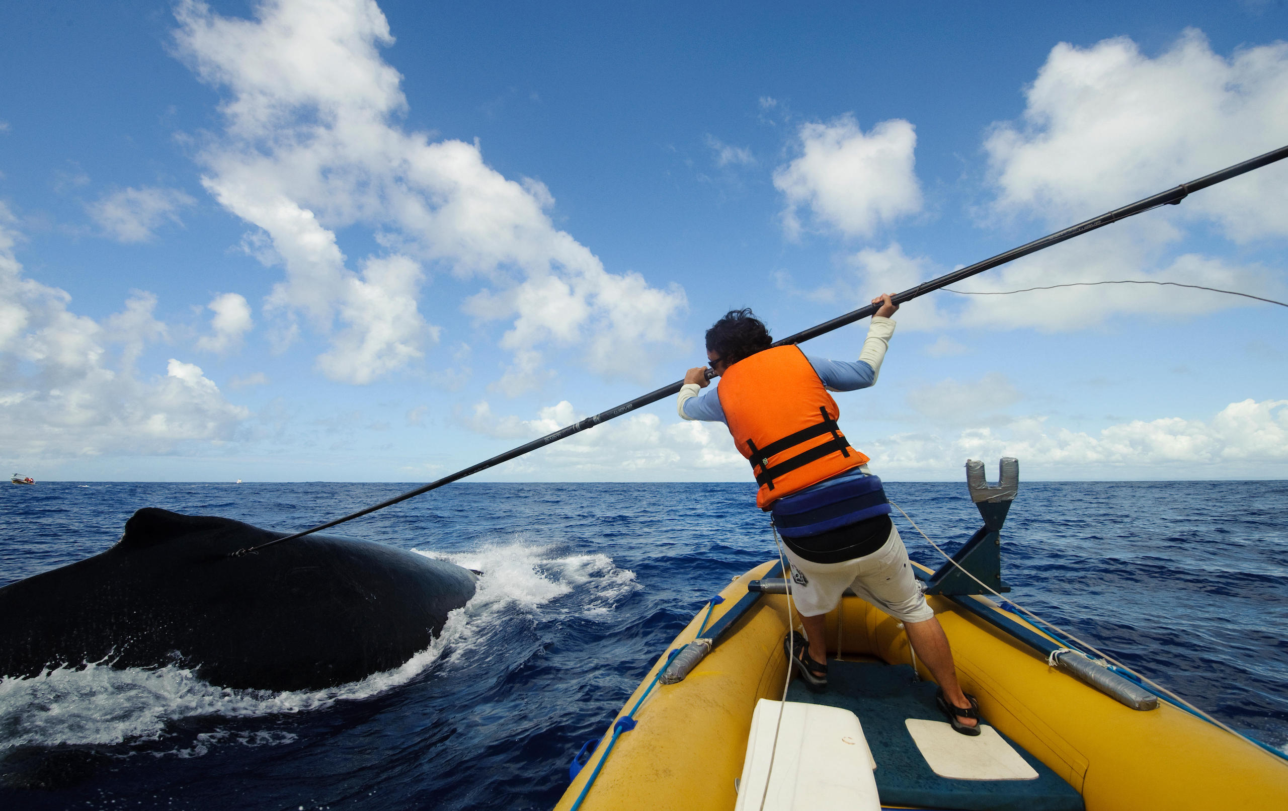
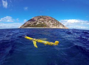
Marine biologist Guy Harvey is a proponent of this approach. His organisation, the Guy Harvey Foundation, uses GPS tracking of sea animals to highlight potential MPA sites.
In 2018, for example, Harvey tagged a whale shark near Mexico’s Caribbean coast that by 2022 had travelled 31,000 kilometres, through the Gulf of Mexico, down to Colombian waters, then north to the Florida coast, into Atlantic high seas, and through the Caribbean Sea once more before reaching Cuba.
At the Our Ocean Conference in Panama this March, Harvey explained that such mapping can help us to understand migration patterns and habitats, and to suggest MPAs sites. When comparing this data against the areas that are already protected, there is often a miscorrelation, Harvey explained.
Elsewhere, there are also initiatives using data on bird migratory patterns to determine important oceanic areas. BirdLife International, a global partnership of NGOs, analysed the paths of 2,000 seabirds based on the Seabird Tracking Database. It identified an Important Bird and Biodiversity Area (IBA) that is now named the North Atlantic Current and Evlanov Sea MPA, or NACES MPA.
Up to 5 million birds use this area throughout the year, making it a crucial gathering spot for migratory seabirds worldwide. The first MPA to use tracking data to support its identification, NACES was officially designated by the OSPAR Commission in 2021, covering an area larger than the landmass of the United Kingdom and Germany combined, though discussions over its scope and management are still ongoing.
Making tools work
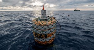
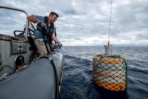
Several other technological tools are available that could aid high seas protection, including autonomous submarines exploring the beds of these waters, and satellite monitoring nonprofit SkyTruth, which works to identify oil spills. The latter was the first to provide evidence that the BP oil spill from the Deepwater Horizon disaster in 2010 was significantly larger than originally estimated.
“All these tools are already moving very quickly, but the great challenge now is to see how they are incorporated into decision making,” Octavio Aburto said. He added that such tools are “still in a very technological and scientific stage”, and that governments often do not have the resources or capacity to train their navies and armed forces to engage in monitoring and enforcement efforts on the high seas.
Obstacles to effectively protecting the high seas may arise from the need to balance initiatives with commercial interests, regardless of whether or not the current practices are unsustainable or depleting fish stocks. As the treaty is implemented, it should also become clearer how it will interact, in practice, with other existing agreements, such as those governing shipping under the International Maritime Organization.
The absence of a global governance framework has made it impossible to have coordinated approaches to conservation action on the high seas. The high seas treaty opens up the possibility for governments and civil society to come forward with proposals for protections in the high seas. We will see the results as the treaty is implemented in the coming years.