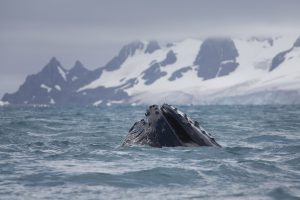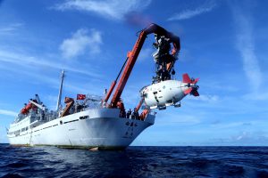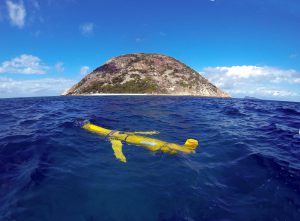

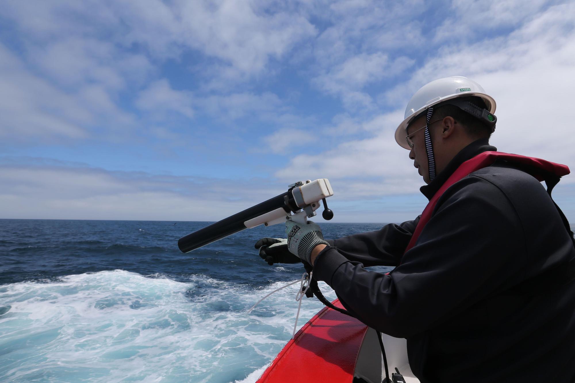
It’s often said that we know more about deep space than the deep sea. Marine scientists are working to change that. In recent years, technologies to sense, interpret and model the ocean have become more powerful, widespread and cheaper to install and use. Smart buoys bristling with sensors bob in the water and gather data on temperature, salinity, light and noise. Sensitive listening devices towed behind ships scan surrounding waters for life. And samples from good old-fashioned buckets and bottles thrown over the side of research vessels still play an important role in examining water.
As a result of all this activity, marine scientists are swimming in data. Much of it is collected by national oceanographic services or research groups scattered across the world. The quality of this data varies, and so do the ways it is gathered, stored, organised and formatted. All of which presents a problem. Given the ocean is a shared resource, and one that is growing in importance for a number of environmental, social and economic reasons, it would be better if all of these overlapping, conflicting and incompatible data streams could be organised – or at the very least, better coordinated and made more accessible.
UK efforts to improve data exchange
“In the past, the gathering of marine data was quite territorial, with people collecting data within different sectors and sometimes being quite possessive,” says Clare Postlethwaite, an oceanographer who coordinates the Marine Environmental Data and Information Network (MEDIN) in the UK. “Now there’s a big push to get data into a single place for users to find.”
This concerted push is establishing open data platforms such as MEDIN that allow many different types of user – from academics to private enterprises – to share and make use of data, helping to deliver insights quickly, avoid unnecessary research effort, and improve research quality.
MEDIN, for example, brings together organisations such as marine conservation groups, renewable energy companies and government agencies. It issues guidelines and standards on how those who generate data – on everything from seabed surveys and wave height records to the status of wildlife populations – should submit them to a series of accredited databases so they can be re-used by others. Some of these standards refer to metadata – how, where and when the information was collected, for example. Others aim to smooth the way for interested parties to access the findings. “I think that for data to be classed as available online it should be able to be retrieved after just a couple of web-clicks. Otherwise the process can get very frustrating,” Postlethwaite says.
Progress in the EU
There are many other open data platforms, some arranged by individual scientific field (such as bathymetry, which maps the shape of the seabed) and others by geographic area.
One of the most established such regional platforms is the European Marine Observation and Data Network (EMODnet). A key plank of the EU’s Marine Knowledge 2020 strategy, it brings together some 120 organisations from across Europe and collates, organises and shares data on seven marine themes, including geology, seabed habitats and human activities. For each, the network offers an online gateway to a range of data archives managed by local, national, regional and international organisations. Through these gateways, users have free access to standardised observations, data quality indicators and processed data products, such as maps of ocean basins.
Speaking during a webinar to celebrate EMODnet’s tenth anniversary last month, Koen Verbruggen, director of Geological Survey Ireland, said: “Before EMODnet it was very much a case of separate projects, separate silos, separate standards… there were lots of projects but not a lot of joined-up thinking.”
Verbruggen and his colleagues would carry out seabed surveys and log the results in a database from which users could download geological and bathymetric data. “But probably the easiest way to get at our data was, believe it or not, through the US, through NOAA’s National Geoscience Data Centre. So it wasn’t really ideal from the European point of view.” Becoming a member of the network helped offer direction, he said. “We had to produce joined-up data.” For smaller organisations, he added that the network offered the first chance to publish their data online in a shareable format.
One of the project’s goals is to tap these various data sources to produce useful products that marine companies and others can use in their work. By reducing costs and promoting the development of industries such as aquaculture, renewable energy and marine tourism, officials say the project will help to underpin Europe’s sustainable use of ocean resources – the so-called Blue Economy.
For example, the project produces monthly “vessel density” maps of European maritime activity, which show the most heavily used routes. According to project organisers, these maps will help scientists who want to monitor shipping emissions, engineers identifying the best routes to lay pipelines and cables, conservationists assessing the impact of fishing on the seafloor and companies planning offshore wind farms.
“With increasing economic activities at sea, not least the large expansion of offshore wind energy, marine space is not only at a premium, but also under growing pressure,” says Felix Leinemann, head of the European Commission’s unit in charge of maritime spatial planning. “When making maritime spatial plans to manage these new activities, planners need to know where and when other activity takes place. The availability and interoperability of these new [vessel density] maps can be an important contribution towards developing these plans.”
Collaborating with China
The project reaches beyond Europe, too. Earlier this year, EMODnet started a collaboration with China’s National Marine Data and Information Service (NMDIS) that aims to develop the use of standards and improve global access to China’s marine data.
Among its scientific goals are plans to look at – and to try to improve – the contrasting results of European and Chinese numerical models of ocean currents and coastal vulnerability. There is also a positive political angle to the partnership, with the EU announcing it would “enhance cooperation in key areas of ocean governance” and “facilitate political convergence towards a collective approach to tackling global ocean challenges”.
Europe hopes the data collaboration project will build trust and establish strong working relationships as part of the EU-China Ocean Partnership signed in 2018. Among its goals are greater transparency on fisheries data.
The project has been delayed by the Covid-19 pandemic, but at a meeting in September last year Karmenu Vella, EU Commissioner for Environment, Maritime Affairs and Fisheries said:
“We should use our joint influence to take the lead globally and ensure the conservation and sustainable use of the oceans. We want our partnership with China to go beyond words and deliver tangible results.”